
GIS Mapping
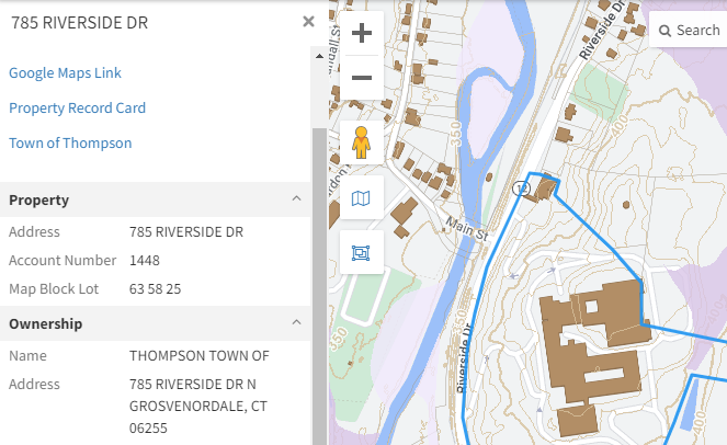
GIS = Geographic Information System
Geographic data displayed on a map, such as:
Aerial photos of town
Property information and boundaries
Location of wetlands and flood zones
click to access the
THOMPSON GIS MAP
The GIS is a public resource of general information. The Town of Thompson makes no warranty, representation or guaranty as to the content, sequence, accuracy, timeliness or completeness of any of the data provided on the site and the user should not rely on the data provided thereon.